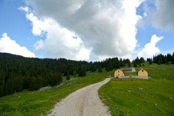
Malga Quarti
Route for Mountain Bike (MTB) Roana - Malga Quarti - Monte Verena - Forte Campolongo
Itinerary that leads to reach two spectacular places: the top of Mount Verena with a 360-degree panorama and the Campolongo Fort, also located in a highly panoramic area. Both places have a strong historical value linked to the fighting of the First World War, for a visitor to the Plateau this itinerary can not miss!
ITINERARY (MTB): Roana - Malga Quarti - Monte Verena - Forte Campolongo
Technical indications
Length: 34 Km
Difference in altitude: 1200 mt.
Maximum height: 2000 mt
Difficulty: medium
Walking time: 4 hours
ITINERARY DESCRIPTION
It starts from the pond of Roana taking the dirt road that begins after the end of the asphalt. The road climbs with an average slope until you reach after about 2.7 km a hairpin bend called "Curva del Martin".
Follow the hairpin bend and continue for another 500 meters meeting, in this case, the "Martin Bridge".
Leave the bridge and continue straight. After a few meters on the left you can go and see the "buso della neve", marked by a special sign.
This is one of the many deep holes of karst formation present in the Plateau. At the beginning of summer it is possible to still find in it, as the word itself says, accumulations of snow.
Continuing the path you head towards Malga Quarti leaving out, at a hairpin bend, a road on the left.
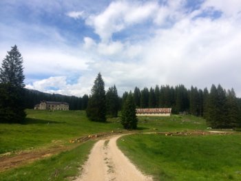
Near the mountain hut the view begins to open, the forest gives way to the meadows used for grazing the cattle of the malga.
After the hut continue with some ups and downs up to the junction towards Cima Verena.
It is here that the last stretch starts, of about 4 km, which leads to the top passing through 7 hairpin bends.
Along this route there are the ruins of the military barracks of the First World War.
Once at the top you can visit the fort and admire the surrounding landscape, both towards the plateau and towards the neighboring areas of Passo Vezzena, Cima Larici and Cima Portule.
For the descent from the top choose the ski slope that starts right next to the arrival of the chairlift.
The first stretch of the slope is to be faced in a zigzag to soften the slope then, after a hundred meters, the dirt road of service to the lifts starts that descends to the right to the Verenetta refuge, the starting point of the ski resorts.
From the refuge take the main asphalt road and go down for 2.5 km and then turn right at a junction that leads to the Casare Campolongo area, home, in winter, of the homonymous cross-country center.
For those who want to make a digression it is possible to stop after 500 meters at the Campolongo Refuge to eat, or turn left 200 meters before the refuge towards Forte Campolongo.
The climb is not very long (about 2 Km) and leads in 30-40 minutes, to the entrance of the Fort.
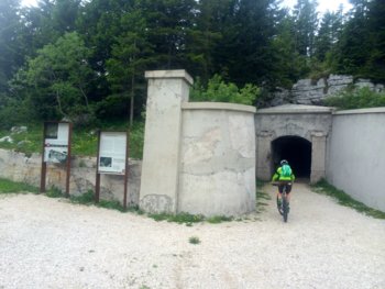
This mountain military structure is worth a visit as it has been the subject of a major renovation that has brought it to the appearance of the past.
Here too you can enjoy a wide panorama towards the Val d'Astico to the south-east and the Dolomite area to the north.
The descent is covered along the same road for about a kilometer, then near a junction keep right and continue the descent until you cross the paved road in the area called "Spiazzo Garibaldi".

Here we resume the climb for the last effort: the first part, in asphalt, 500 meters long and the second part, turned right, about 1 km long that leads to the "Spiazzo dei Mercanti" in the area of Mount Erio.
From Spiazzo keep the second road on the left towards Casare Gruppach.
The track is now all downhill for about 3 km until you meet the "Martin Bridge" left out of the outward journey.

At this point you can take the road made previously to the starting point of the itinerary with the possibility highlighted in the track, to make a variant in the woods.
This variant is quite bumpy and, in some steep sections, recommended only for experienced bikers, for others it is recommended to continue for the easy and fast stretch that leads back to the Roana Lake.
In collaboration with Altopianobike.
ROUTE MAP
PHOTO GALLERY OF THE MTB ROUTE ROANA - MALGA QUARTI - MONTE VERENA - FORTE CAMPOLONGO
All rights reserved. We accept no responsibility in the event of damage to persons and things that occurred along this route.